

ABOUT
Overview
District of Chhindwara, in its current state, was created on the 1 November 1956. The district is situated on the Satpura ranges on lat. /long. 21.0574 degree N, 78.9382 degree E. The district is close to Maharashtra border adjoining Nagpur and Amravati. On the north the Narmada Valley are Hoshangabad and Narsingpur Districts, on the east is Seoni District and on the west is Betul District. The Chhindwara District is area-wise the largest district of Madhya Pradesh. Its geographical area is 11815 sq km and has 11 Development Blocks. According to the 2011 census the population of the district was 20, 90, 306. Since the population growth rate is 17.89 there must be a sizeable increase in the population. Tribal’s form 35% of the population. Despite this, due to various Government schemes the district has developed well in Agricultural and Industrial fields. The District Hospital has at present 400 sanctioned beds but the bed occupancy rate is usually higher than 100% the daily O.P.D attendance is between 1000 to 1200, 15 to 20 operations are done daily.
AT A GLANCE
Key information
Established
2017
Ownership
Public / Government
Stream
Medical
Location
Chhindwara, Madhya Pradesh
ACADEMICS
Courses offered
1 programme at Chhindwara Institute of Medical Sciences Chhindwara
Undergraduate1
GALLERY
Campus photos
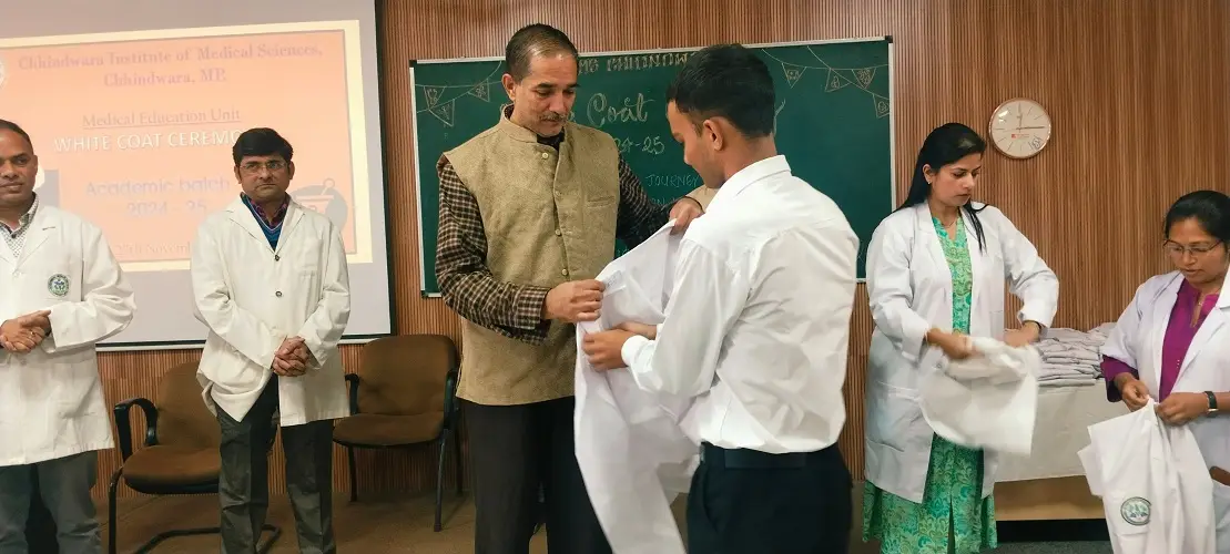
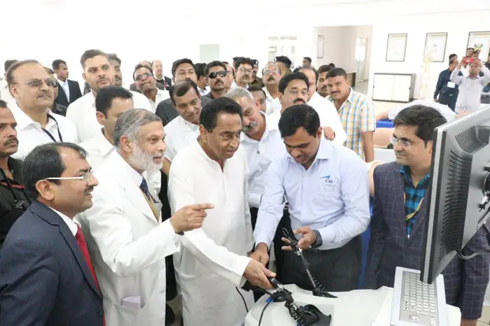
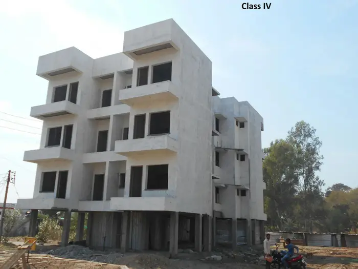
Photos: www.govtmedicalcollegechhindwara.ac.in
Listed on Campusbells since 28 Sept 2026·Last updated 29 Sept 2026